Several people have asked me the question, “Why the Black Belt”?
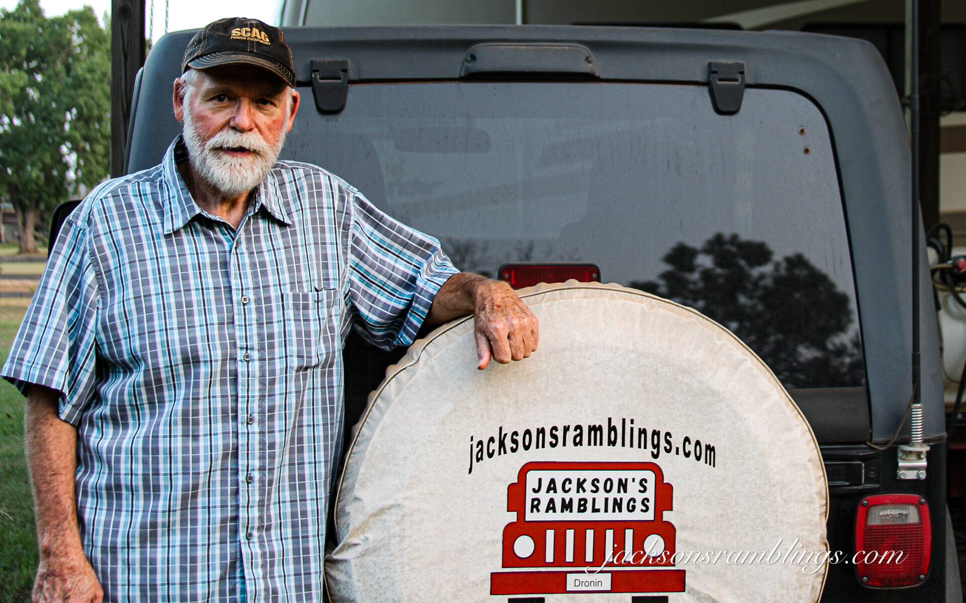
Here is the best explanation I can give. Ever since I got back into photography a few years ago I have been sort of searching for a niche. I love drones, history, the outdoors, and writing stories.
I have retired from both my lawn service business and as the pastor of a small church. My wife and I love to get out and ramble. Our health is good. Normally when I am out and about she is with me.
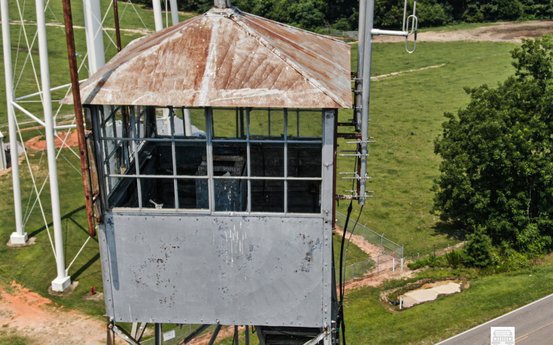
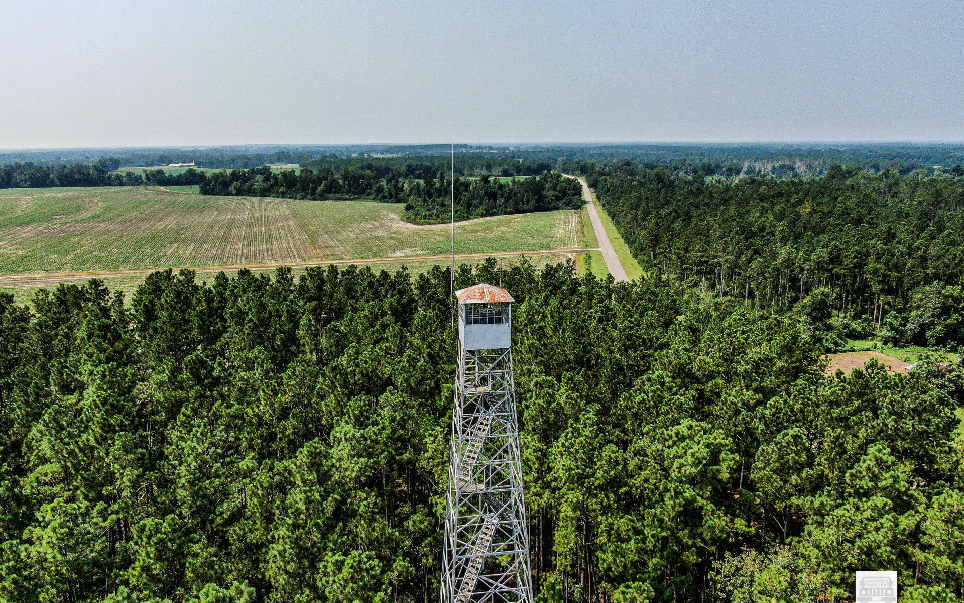
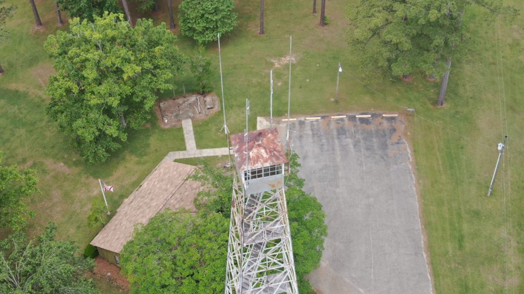
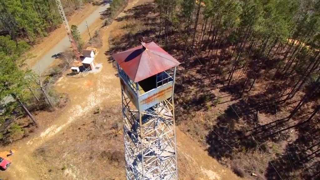
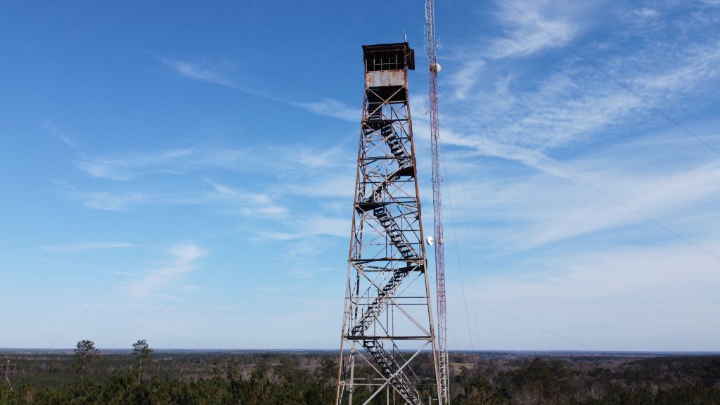
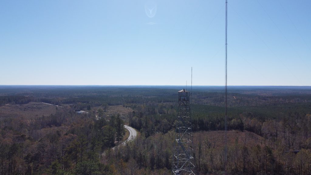
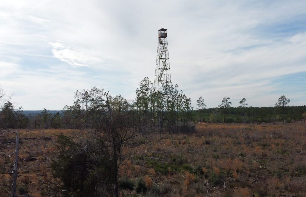
I have been for quite a while shooting drone photos and videos of forest fire lookout towers. I bought my first digital SLR camera a couple of years ago. I had of course always since I was a kid loved photography. In the 1980’s and 90’s before digital I shot a lot of 35mm photos. I had owned numerous cheap digital cameras and taken a lot of photos with them also.
I felt the need/desire or whatever you would term it to travel and document the various things of our beloved southland. Even back with 35mm I did that often as well as some wildlife photography. First off, I started doing drone videos and putting them on YouTube. As that progressed, I started shooting photos of other things. I especially liked documenting pre-1900 churches.
I had already traveled over several counties in Alabama and some in Mississippi taking photos of the small towns. Midsummer of 2023, I started to try to visit all 67 counties in Alabama. I actually wrote a blog post on doing that in August. Rambling The Southland.
I decided to work the area East of I-65 from the bottom of the state to the top. Then, I would work the area from the bottom to the top on the West side of I-65. I went out four times. I would leave home, hit as many small map-dot towns as I could in a day. Then I would spend the night in my van and go again the next day.
I did this four different times. Three of those times I ran almost 600 miles each and put in a lot of hours. The fourth I ran over 700 miles. I would take so many photos doing this, that it would take me two weeks several hours a day, after I got home, to just go through, sort and locate where all the photos were taken. After that even more time to process and share to social media and on the website.
I was thoroughly enjoying doing what I was doing and planned to continue till I got all 67 counties. When I got up as far north as Hwy. US-80 which had me working the Eastern Black Belt I started to realize that I was trying to cover too much territory at the time. I was taking hundreds of photos, but I was trying to cover too much too thinly. Doing it this way just did not give me enough time to find out anything about what I was photographing. I was just getting photos but not getting the story behind the photos.
That is when I realized that I needed to focus deeper on one area and stick with it. Because there is so much of what I love in the Black Belt, that was where I needed to be. So here I am.
My goal now is to focus for as long as it takes on primarily the Western, Alabama, Black Belt. Western, meaning the areas primarily West of I-65. I do plan at some point to go back into the Eastern part again and do it the same way. My plan is to capture photos of as many of the pre-1900 churches as I can locate as well as any other things of historical interest. Along the way I will document whatever else that I run across that is interesting, unusual, or basically that catches my attention. I will focus at times on wildlife and primarily birds. The Black Belt is very rich in birds, and I feel that is something else I would like to keep documenting.
As I document the churches, I post them on my website under the tab Black Belt Churches. That page has an index of the counties. Under the tabs of the counties are the links to the individual pages of the churches themselves listed in alphabetical order for that county. That will be an ongoing work where I populate the various county pages as I visit them. Over time it will be into the hundreds of historical churches.
I have been and will continue to write blog posts on whatever and whenever as I travel. They can be viewed as I post them on my web site jacksonsramblings.com. I would like to go back to making some videos but I will not say when that will happen because doing what I am trying to accomplish now is a full time job, believe it or not.
From the information gathered and shared on my website it would be nice to have some books as well as calendars and other material printed.
I have always loved wildlife and at some point, I would like to have my wildlife photos somewhere as well, possibly another page on the website or on another website.
This is a project that to do it justice will take several years quite possibly. A lot of it will take multiple trips into the same area over the coming months and even years.
It would be incredible if I could pick up some sponsors who would love to see this accomplished. I could really use some updates on some of my camera equipment. There is also a considerable cost involved in traveling, maintaining and at some point, replacing my Jeep. There are also expenses to maintain my small motorhome, as well as fuel and campground fees, meals when traveling, and so forth. There are always computer related expenses as well. My current MacBook is three years old so hopefully I won’t have to replace it for a good while yet.
Between my Facebook groups and pages, I now have in the thousands that follow and I appreciate the friendships that I have already made and look forward to a whole lot more as time goes on. I can only imagine what the coming months and years can and will bring. There are so many that I want to meet face to face and learn their stories and the stories of their family’s contributions to our great Black Belt Reigon.
If you have read this far, I welcome you and hope you will see fit to follow along on this project as I travel our beloved Historical Alabama Black Belt.
