As most people know Forest Fire Lookouts is actually what got all of this started. Sort of.
I have been working on getting drone videos and pictures of them for years now. As most of you know it is my desire to document every one left standing in the State of Alabama. From the best of my estimation there are about 75 left.
Also to the best of my knowledge there have been only 4 that are South of US hwy 80 and West of I-65 that I have not been able to get to.
Two of those are behind gates and I have not successfully gotten the opportunity to get them. I just found out about one only a few weeks ago. That one is actually in the very Southern and Western most part of Mobile County. The fourth one has been up at Mt. Willing in Southern Lowndes County.
I have actually left home to get to Mt. Willing and for whatever reason never got there. You might say for me it has been elusive. I could not figure out exactly how to get to it even from the road. Now days so many roads that are few years ago were considered public roads are no longer open.
This morning I was coming across the area heading to Ft. Deposit and lo and behold I looked at my map and there was the pin for Mt. Willing Lookout Tower. I was going to be the closest to it I remember being.
I started looking at the maps as best I could trying to figure it out. Obviously when I needed it the most I did not have enough cell signal to figure it all out on the maps. I could figure out that I was not too far from it but could not figure out how to get to it.
Then all of a sudden as I was looking off in the distance I could see it. There was a short distance across a clear cut but was like a window I would say that the tree line broke and I could see it off in the distance from the road.
Now I hold a current FAA Part 107 certificate to fly drones. I knew I could fly it but I needed to be able to maintain visual line of sight. I stood there and looked and looked trying to decide. Finally I decided to give it a try. I knew it was a stretch but if I could not hold sight I could just return the drone and give up till I figure out a better way.
I parked beside the road. Laid the landing pad out, started the drone and controller, and calibrated the compass on it, and took off. It was bright. It was hard to see the controller in the sunlight. I could see the drone all the way.
One issue you have flying towers that far out is determining how close to the tower you really are. You are looking at a tiny screen in bright sunlight. Looking at the drone itself that far away it is just a dot basically and it is hard to look at two objects and determine exactly how far apart the really are.
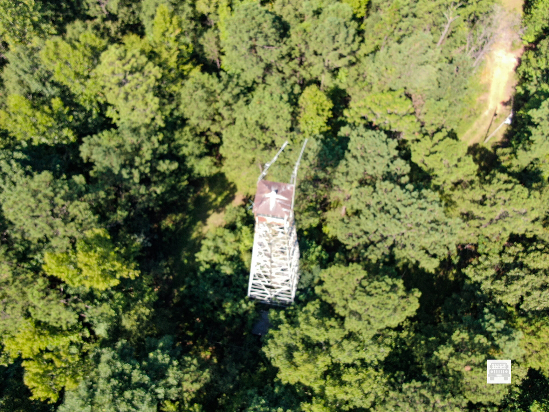
At a thousand feet out or so it is hard to determine if. You are 50 feet away or you are about to hit it. My drone has obstacle avoidance in it. I brought it in to where the obstacle avoidance started reading the distance. I was able to get some decent photos and a short video of it.
Because of fear of losing sight of my drone I was not able to get as clear nor crisp pictures nor video as I do most towers. I was thankful though to get that one in the books as done.
The following information comes from the National Historical Lookout Registry:
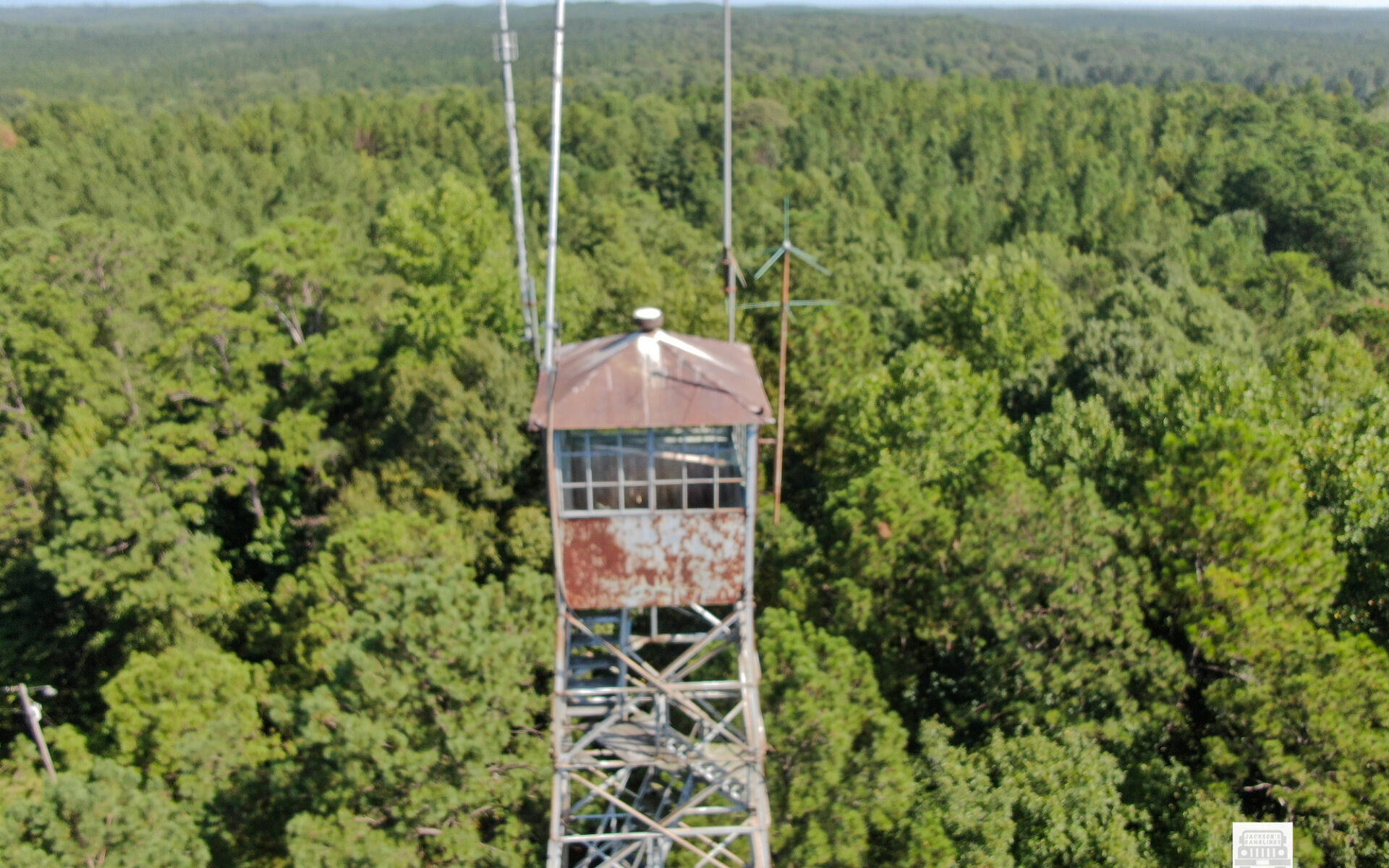
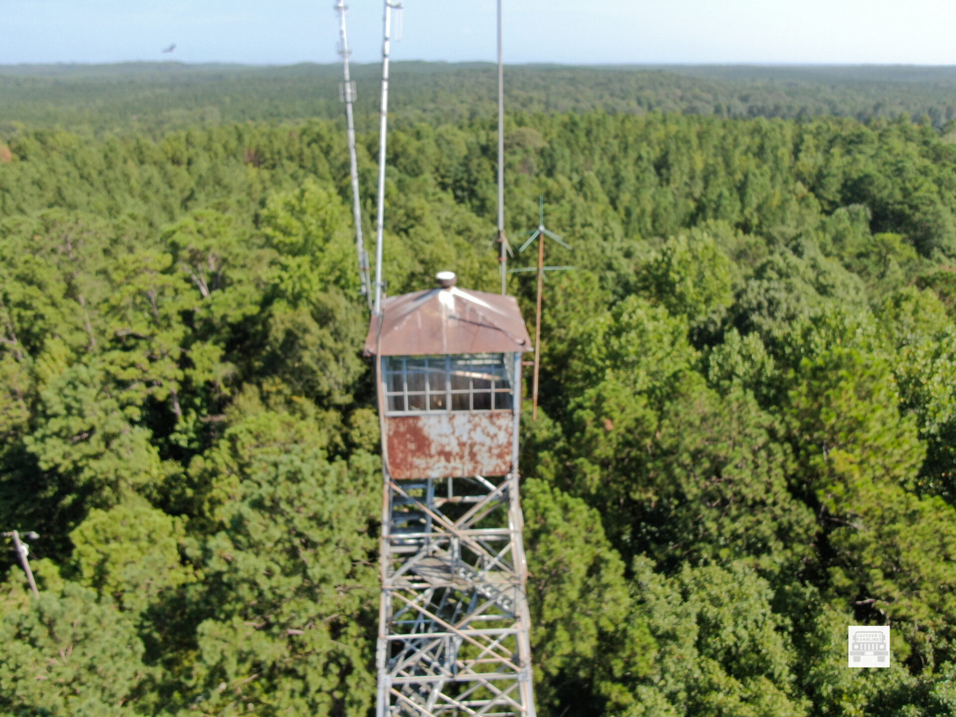
The Mount Willing Lookout Tower in Lowndes County dates to 1936. The 100′ Aermotor MC-39 steel tower with 7’x7′ cab was built by CCC Company 4434, which was also a junior African-American unit.
Mt. Willing is: # 857 on the US Registry and #36 on the Alabama Registry.
It is located:
32°04’22.5″N 86°43’07.1″W
32.072903, -86.718627
I am thankful that I finally found it and got to take some pictures of it. I like to get closer and I like to make better photos. I will make a video when I get time. I actually have several I need to make videos of that I have taken the videos but not taken time to edit and put them up.
Thanks for reading. Hope you enjoy.